Kandy City
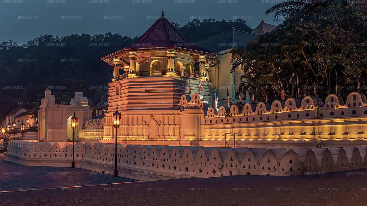
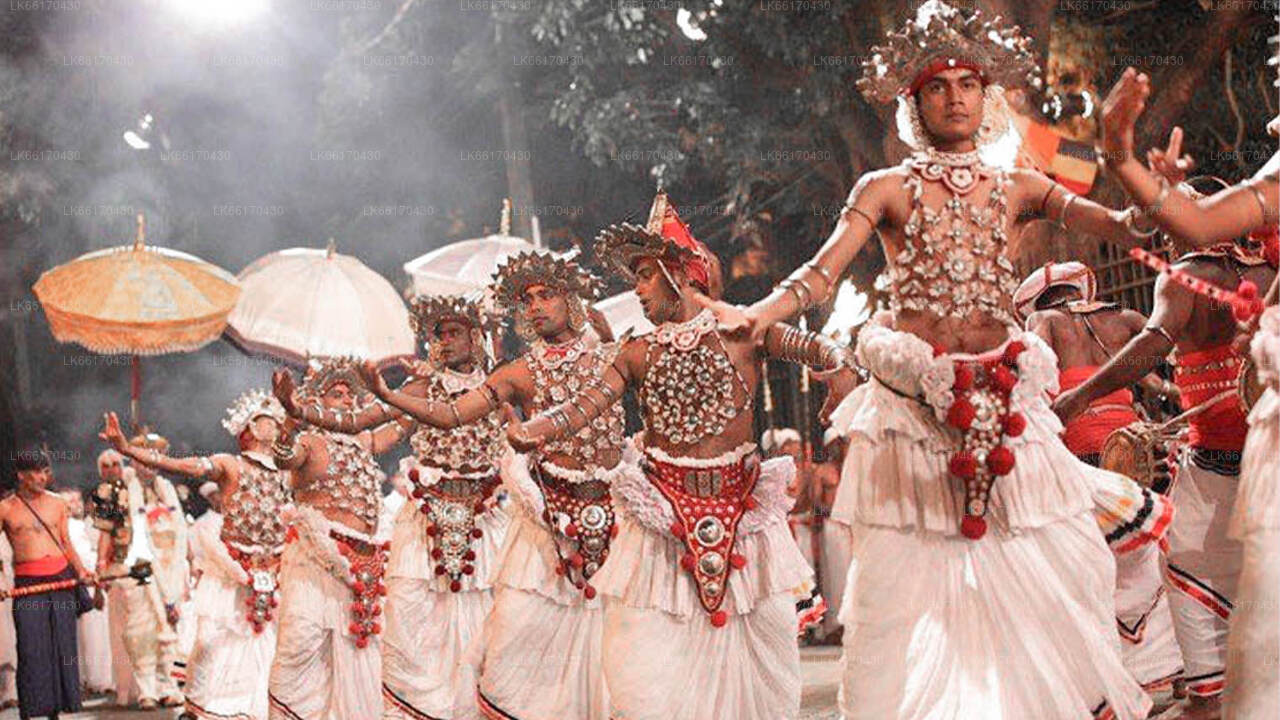
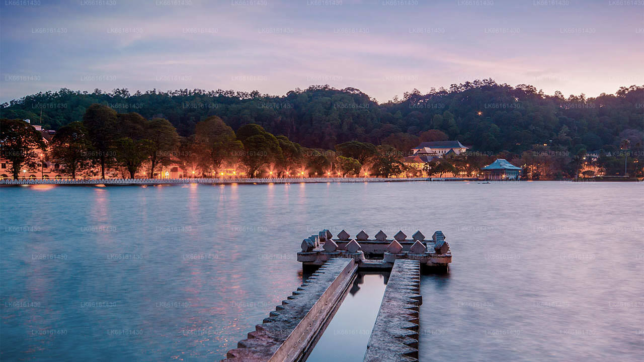
Kandy, a picturesque city in central Sri Lanka, is renowned for its rich cultural heritage, vibrant festivals, and scenic beauty. Nestled amidst lush hills, it is home to the Temple of the Tooth Relic, a UNESCO World Heritage Site, and offers a captivating blend of history and natural splendor.
Galaha
Galaha is a small town located in the central Sri Lanka. Situated at an elevation of about 700 metres (2,300 ft), it is one of the first tea planted areas in Sri Lanka, 20 kilometres (12 mi) south of Kandy. And 19 kilometres (12 mi) from Gampola town and 5 kilometres (3.1 mi) from Deltota town.
Presently it is administrated by Deltota Divisional secretariat and Patahewaheta Pradeshiya Sabah.
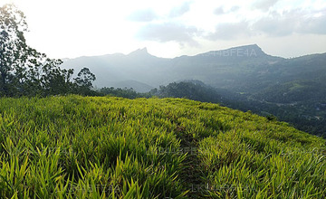
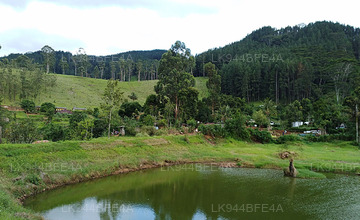
Galaha is a mountain area with green hills and natural water sources. It is a cold and rainy area. A tiny river encircles, and provides sufficient water to the farmers, who cultivate paddy in this region. In Sri Lanka, this is one such place, where step cultivation of paddy is done for the past several centuries. This town is surrounded by mountains, whose top soil is eroded due to the pounding rains and cultivation. And thus, reforestation program by the government, produced beautiful pine forests on them. There were several tea estates, once the profit making industry in this area, are vanished. The nearest tea factory, Galaha Group, one of the largest factories, located at the entrance to the town, abandoned and never restored. Natural minerals like Quarts and Mica are abundant in the surrounding mountains. As such there are no guest houses / lodging available in this towm, however, there is a nice resort near Nillambe, a six km far. This town has a Vihara, a Hindu temple, a Mosque, and a Church.
This town provides everything to its inhabitants. There is a Petrol station and a restaurant, opposite to each other. There also a well maintained government hospital. Economy of this place is depending on the Middle East Employments, agriculture, government jobs and business.
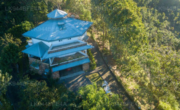
Notable places near the town are Badrawathi Buddhist monk hospital, temple and sacred mountain, meditation center in Nillambe, Rosa thiruwana rock, Belwood Saundarya nikethanaya, the 1st Tea estate of Sri Lanka the Loolkandura Estate, Forest and Sir James Taylor Tea museum, and the Mountain reef.
About Kandy District
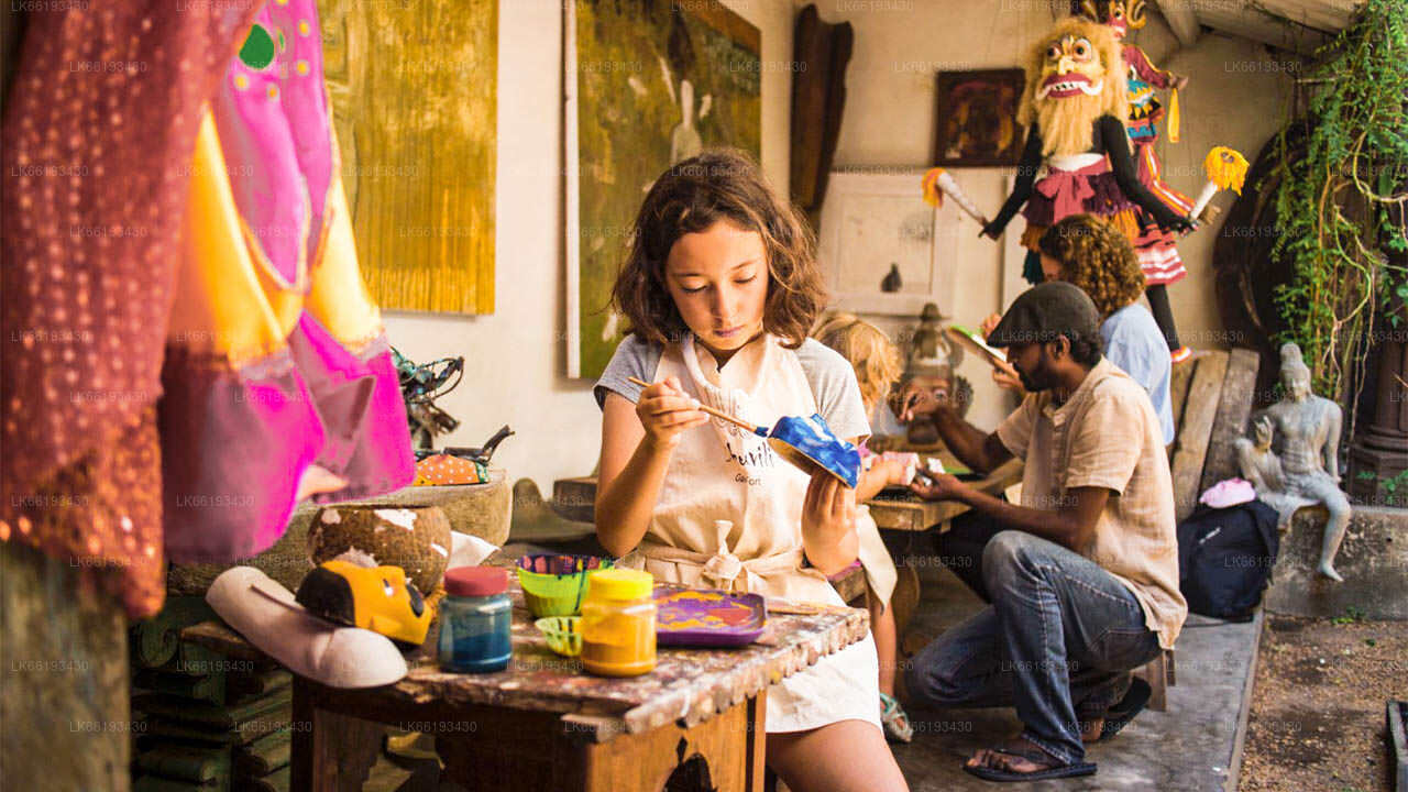
Kandy district is situated in the centrel province of Sri Lanka. One of the seven World Heritage Sites in Sri Lanka, Kandy was once home to the Kandyan Kings of yore in the 16th-century and a fountainhead for all the music, arts, crafts and culture in the country. About 129 km away from Colombo, Kandy is ensconced amongst a hilly terrain and all eyes are drawn to the centre of the city, where the Kandy Lake forms a charming feature. Kandy retains great religious significance for Sri Lanka, because it is in this charming city that the Dalada Maligawa or "Temple of the Tooth" is located, within which the sacred tooth relic of Lord Buddha lies well guarded.
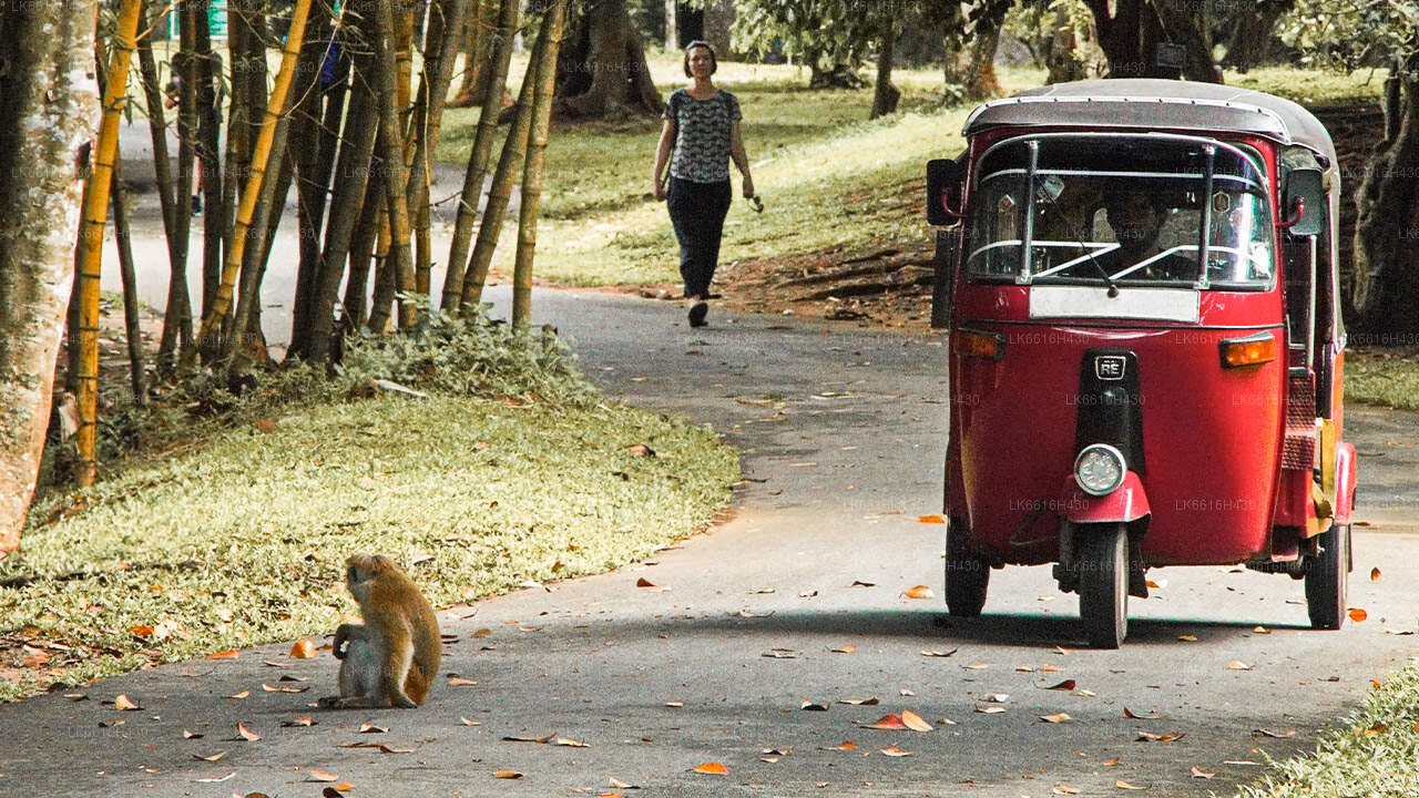
The Royal Botanical Garden, Peradeniya is situated about 5 km to the west of the city centre at Peradeniya and is visited by 1.2 million people per year. It is the largest botanical garden on the island. The Udawatta Kele (Udawatta Forest) is a protected sanctuary situated in the heart of the city, just north of Temple of the Tooth.
Kandy is a Sinhala majority city; there are sizeable communities belonging to other ethnic groups, such as Moors and Tamils. Kandy is second only to Colombo the center of the Sri Lankan Economy. Many major co operations have large branch officers in Kandy and many industries include textiles, furniture, Information Technology and jewellery are found here. Many agriculture research centers are located in the city.
And a fountainhead for all the music, arts, crafts and culture in the country. About 129 km away from Colombo, Kandy is ensconced amongst a hilly terrain and all eyes are drawn to the centre of the city, where the Kandy Lake forms a charming feature. Kandy retains great religious significance for Sri Lanka , because it is in this charming city that the Dalada Maligawa or Temple of the Toothis located, within which the sacred tooth relic of Lord Buddha lies well guarded.
About Central Provincce
The Central Province of Sri Lanka consists primarily of mountainous terrain. The province has an area of 5,674 km², and a population of 2,421,148. Some major towns include Kandy, Gampola (24,730), Nuwara Eliya and Bandarawela. The population is a mixture of Sinhalese, Tamil and the Moors.
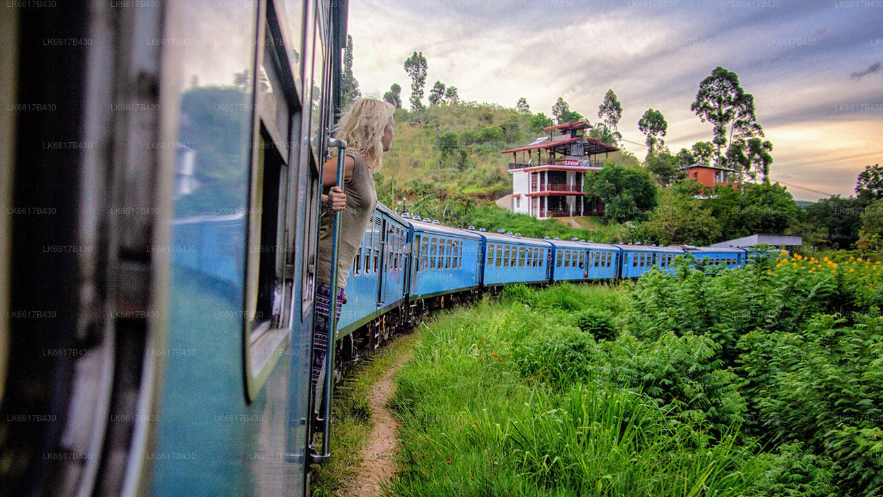
Both the hill capital Kandy and the city of Nuwara Eliya are located within the Central Province as well as Sri Pada. The province produces much of the famous Ceylon tea, planted by the British in the 1860s after a devastating disease killed all the coffee plantations in the province. Central Province attracts many tourists, with hill station towns such as Kandy, Gampola, Hatton and Nuwara Eliya. Temple tooth or Dalada maligawa is the main sacred place in Centrel province.
The climate is cool, and many areas about 1500 meters often have chilly nights. The western slopes are very wet, some places having almost 7000 mm of rain per year. The eastern slopes are parts of the mid-dry zone as it is receiving rain only from North-Eastern monsoon. The Temperatures range from 24°C at Kandy to just 16°C in Nuwara Eliya, which is located 1,889 m above sea level. The highest mountains in Sri Lanka are located in the Central Province. The terrain is mostly mountainous, with deep valleys cutting into it. The two main mountain regions are the central massif and the Knuckles range to the east of Kandy.

